Satellite Imagery Solution Provider for UHR Capturing of Space | TelePIX
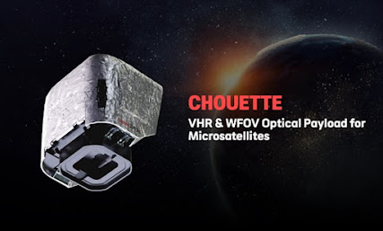
T ele PIX provides outstanding satellite imagery solutions in global market. It offers a next-generation Ultra-High Resolution (UHR) multispectral EO/IR payload for government, military, intelligence, and space agencies. TelePIX Satellite Imagery Multispectral satellite imagery solution is the most affordable way to monitor any location on the planet. This solution goes beyond monitoring locations and capture beautiful satellite imagery in order to satisfy the need for practical data to help customers make more efficient decisions faster. The benefits of TelePIX Satellite Imagery TelePIX satellite imagery is ideal for testing and developing a minimum viable product (MVP), in line with the principles of aerospace. In addition, TelePIX satellite imagery is affordable. Obtaining satellite imagery in space and operating data processing costs the fraction of a large satellite. By launching multiple Chouette into space to deliver on your business model, operational risks are considerab